
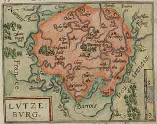

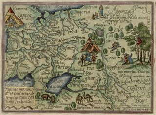
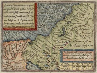

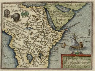
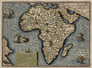
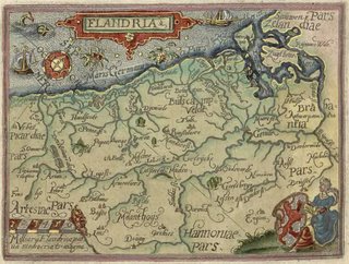

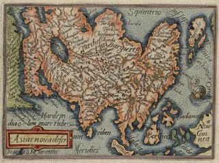
Theatri Orbis Terrarum Enchiridion or 'Concise World Atlas' has latin text written by Hugo Favolius, beautiful hand coloured engravings from Phillip Galle and was printed in 1585 in the renowned Antwerp print shop of Christopher Plantin.
This atlas was produced during a highly active period in terms of cartographic printing, particularly in Antwerp. Mercator's world map came out in 1569. The first atlas from Ortelius came out in 1570. Braun's Civitates Orbis Terrarum (posted here a few weeks ago) was published in 1572. They were all influential, very popular and had many editions. In fact, many sources contributed in one way or another to these famous works; the Library of Congress has an interesting essay -- essentially about Ortelius -- which gives a bit more detail about the mapmaking environment in the late 16th century.
So although it was known that Favolius translated Ortelius's text into latin, I didn't see any reference to Ortelius while perusing the opening pages of the Concise Atlas. Phillip Galle had done the engraving of a portrait of Ortelius that went into later additions of Ortelius's atlas and the Ortelius atlas was itself also printed by Plantin. I would have thought such a close cooperation would reduce the likelihood of straight out theft without attribution.
I had a quick look at some mediocre quality images from the Ortelius atlas and they are similar in some respects to Galle's work here. But perhaps this 1585 book actually was a semi-original atlas, seeking to capitalize on the success of the portable bookform of maps Ortelius brought to the world. I know there are probably better Ortelius atlas images around but the point I'm dancing around here is that all of these mapmakers used multiple sources and working out which if any of the maps was definitive is very difficult. In other words, I don't think this work is a straight ripoff of Ortelius, save for the format. That, or I'm going on about it to convince myself because I really like Galle's engravings.
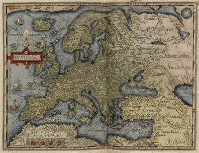
All the images here were uploaded at full size (save for: Europe & World which were scaled down somewhat) so click the maps for large versions (~300kb).
The complete Theatri Orbis Terrarum Enchiridion is online at the Jewish National and University Library. But to view images you will need to download the DjVu browser plugin. It's definitely worth it if you like the samples here. The book has more than 80 maps available and I happily spent ages going through it. One thing - when it says it is 100% in size within the viewer, it's not really. At first I took screen captures but then went back and right clicked to save individual pages. The saved image, opened as a jpeg in an image viewer like Irfanview is much much larger than it appears on screen as a DjVu file, if any of that makes sense.
No comments:
Post a Comment